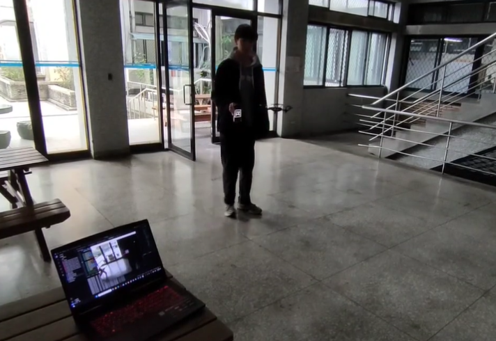
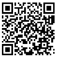
使用 Tello 無人機相機追蹤 AprilTag,將影像中的標籤位置與尺寸變化轉成飛行控制指令。Uses a Tello drone camera to track AprilTags and converts tag position and scale changes into flight-control commands.
專案內容Project scope
偵測 AprilTag 在影像中的相對位置。
將視覺誤差轉換成無人機前後、左右與升降控制。
作為視覺伺服與空中機器人控制練習。
Detected the relative AprilTag position in the camera image.
Converted visual error into forward, lateral and altitude control.
Used the project to practice visual servoing and aerial-robot control.